Area

Benefits
Specifications
How-to
Contact Us
Learn More

Solutions
Specifications
How-to
Contact Us
About Us
The Open Platform for Forest Intelligence


Solutions
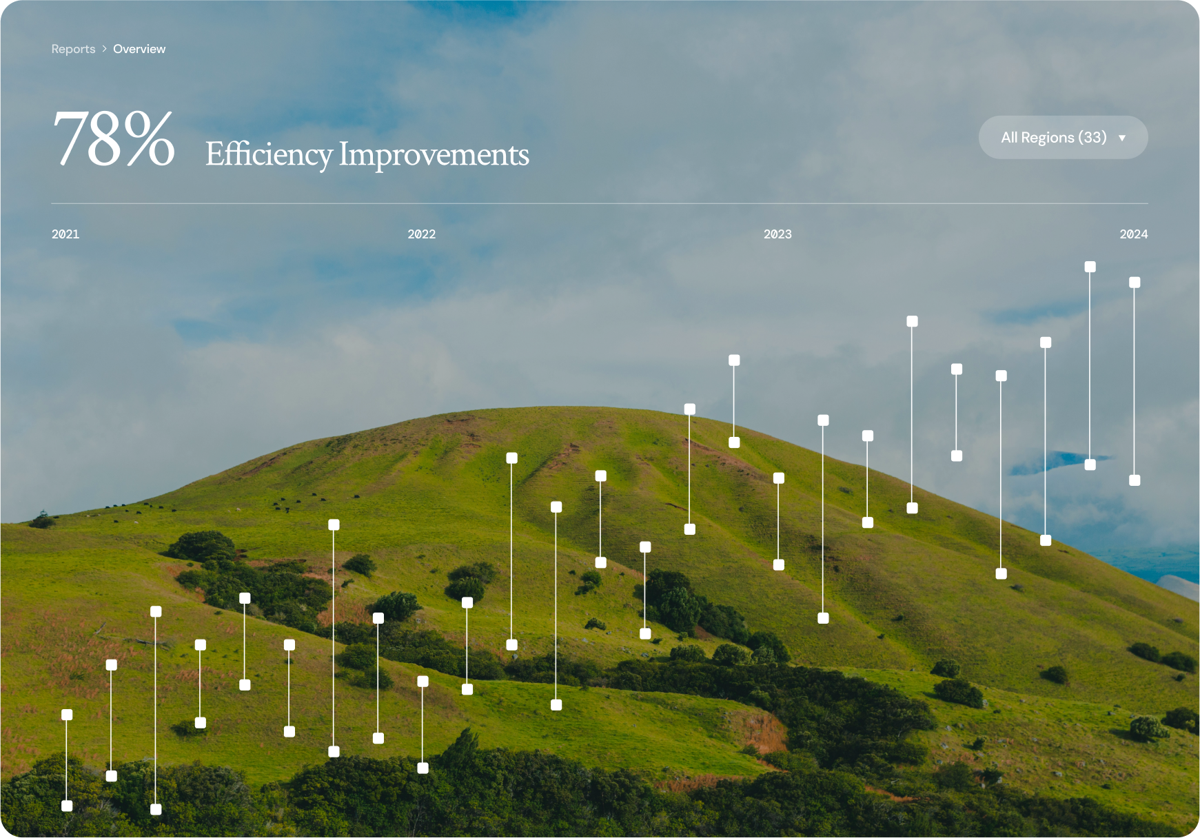
We’ve turned signals into action.
Canopy fuses acoustic AI with satellite change detection to deliver clear, field-ready insights—without the data overload.

Deploy Anywhere
Run edge kits in remote forests and a Docker pipeline in the cloud or on a laptop—same workflow, consistent results.

Surface Threats Early
Detect chainsaws, tree falls, and distress calls; flag vegetation change hotspots so teams know where to look first

Work Offline, Sync When Ready
Cache audio, tiles, and alerts locally. Export CSV/PDF. Sync to the dashboard or QGIS when connectivity returns.

Transparent & Trusted
Open models and datasets, auditable rules, and ethics-by-design so partners can verify—and improve—every step.

How it works
Discover More
01
Capture
Low-power recorders (or your existing audio) collect forest soundscapes. Public satellite imagery (Sentinel/Landsat—and later SAR) is queued for your area of interest.
02
Detect
Acoustic models flag events like chainsaws, tree falls, and distress calls. In parallel, vegetation-change layers (e.g., NDVI) highlight unusual canopy shifts.
03
Fuse
Events and change pixels are joined in space and time. A simple score ranks hotspots so teams know where to look first.
04
Map & Act
Results appear on a lightweight web map and in QGIS. Export CSV/PDF/GeoJSON, cache offline, sync later, and feed field feedback back into the dataset.

Connect with us
Schedule a quick call to see how Canopy turns forest signals into clear, field-ready actions.
Learn More
Benefits
Specifications
Canopy.
2025
All Rights Reserved